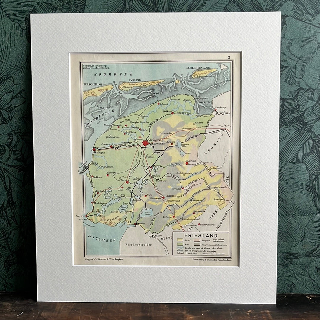
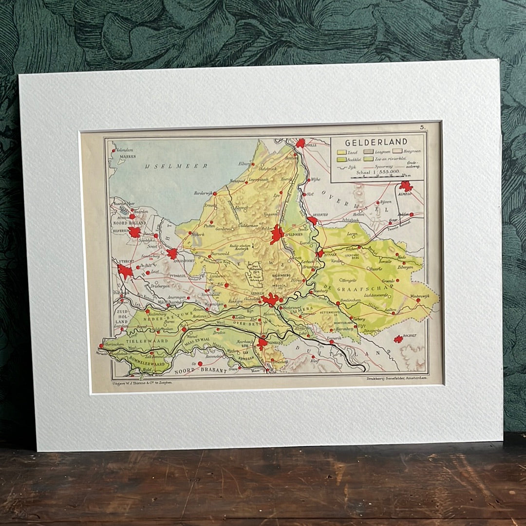
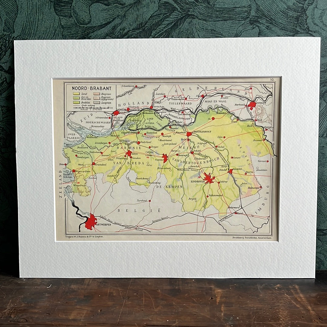
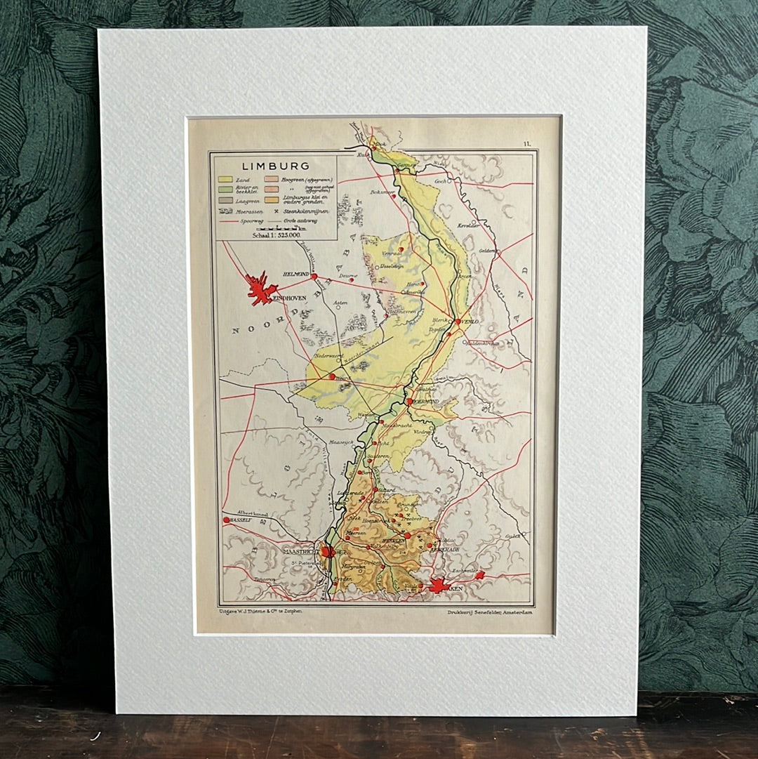
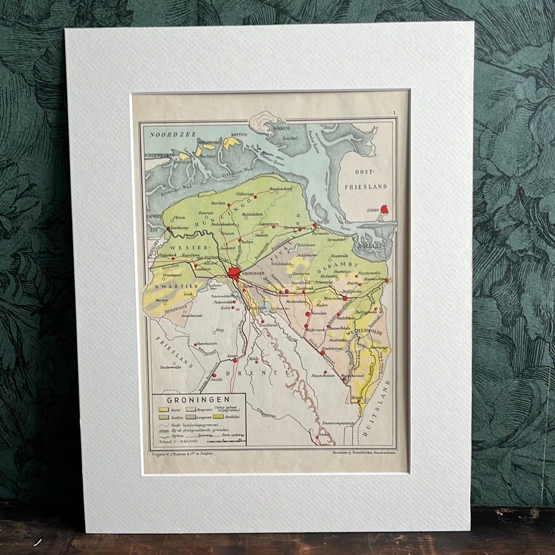
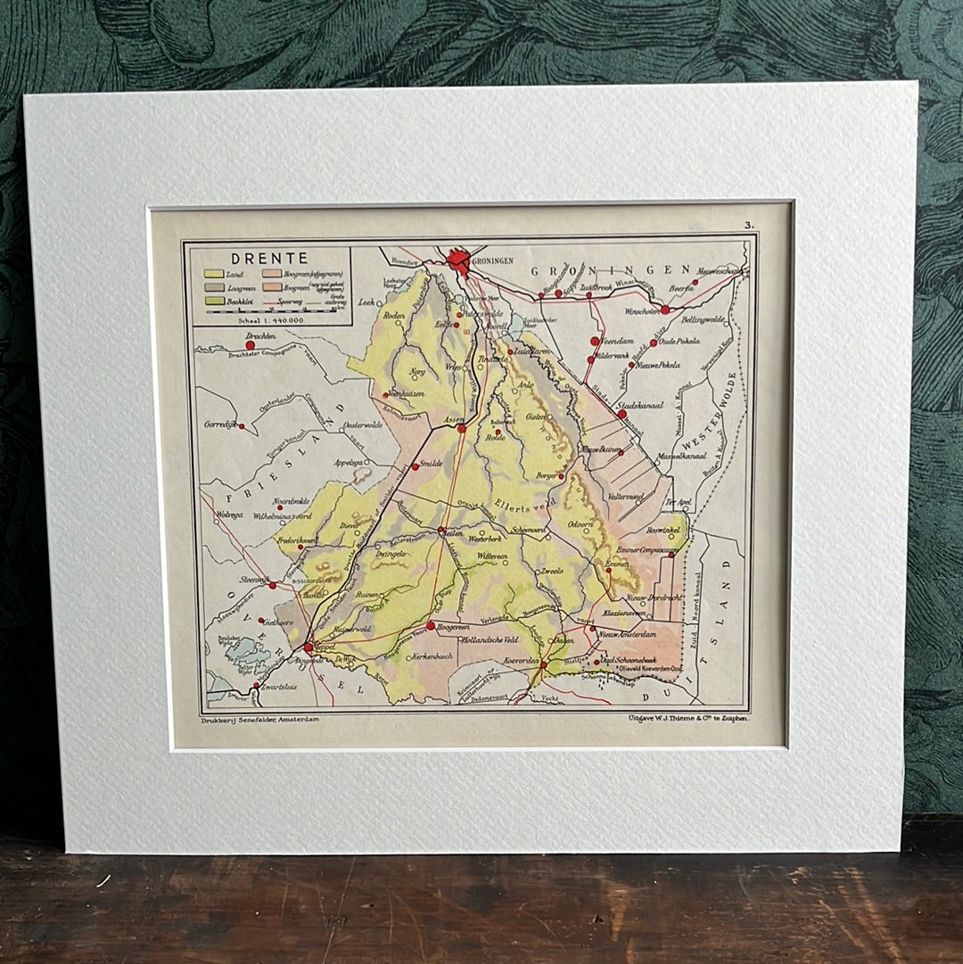
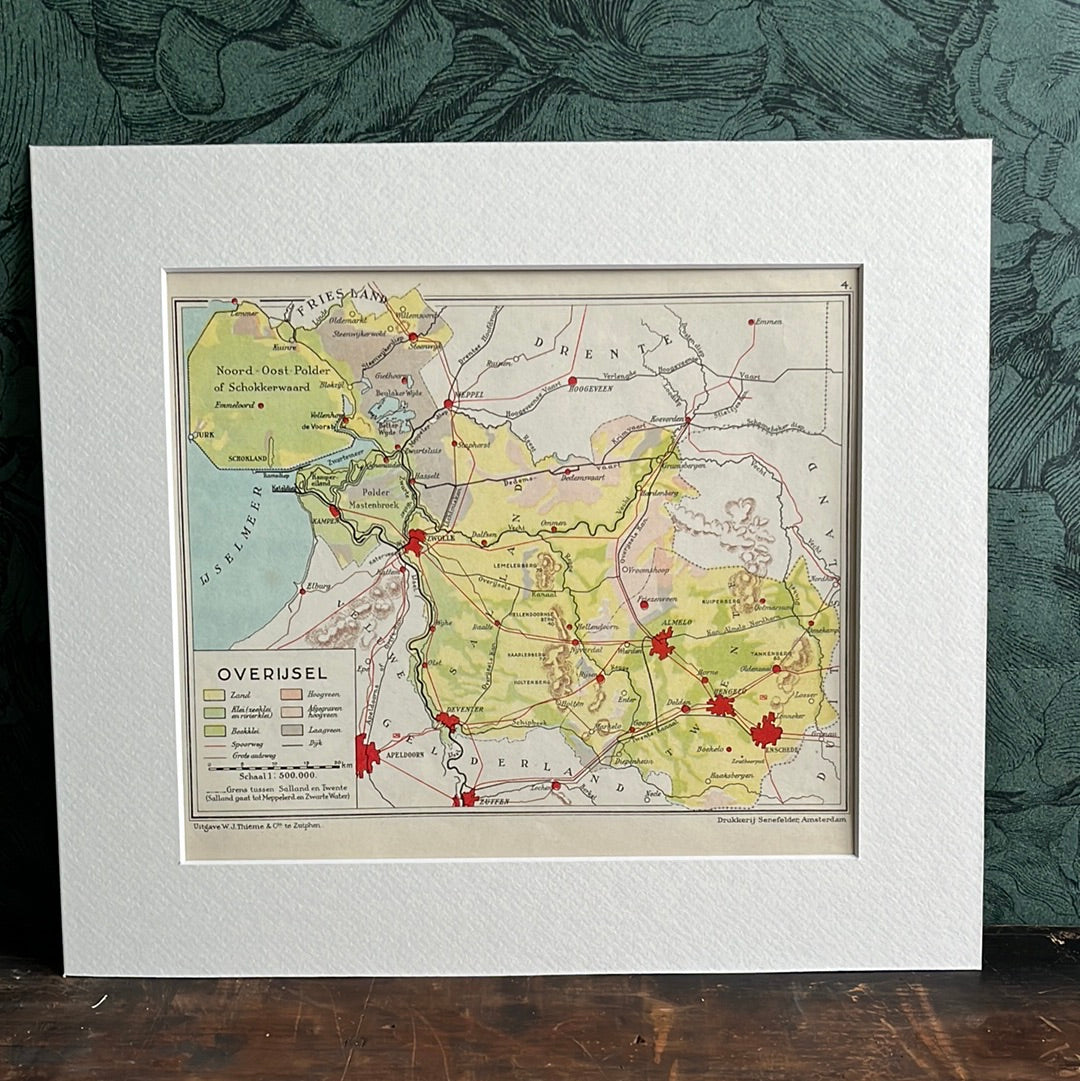
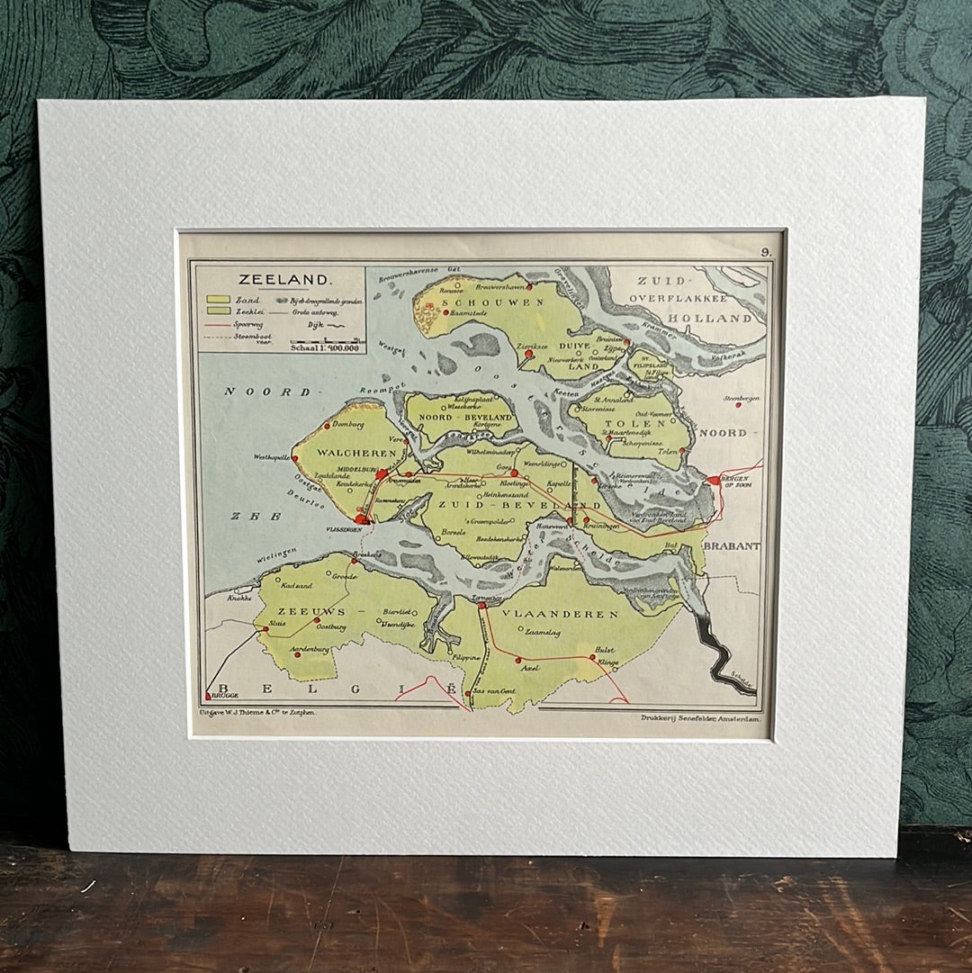
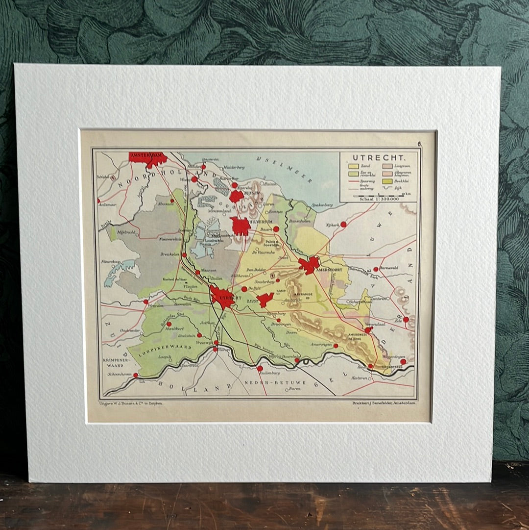
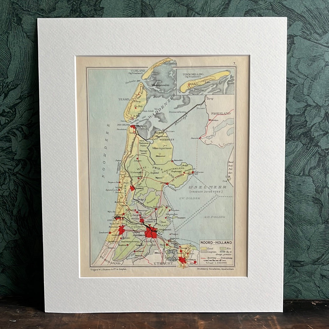
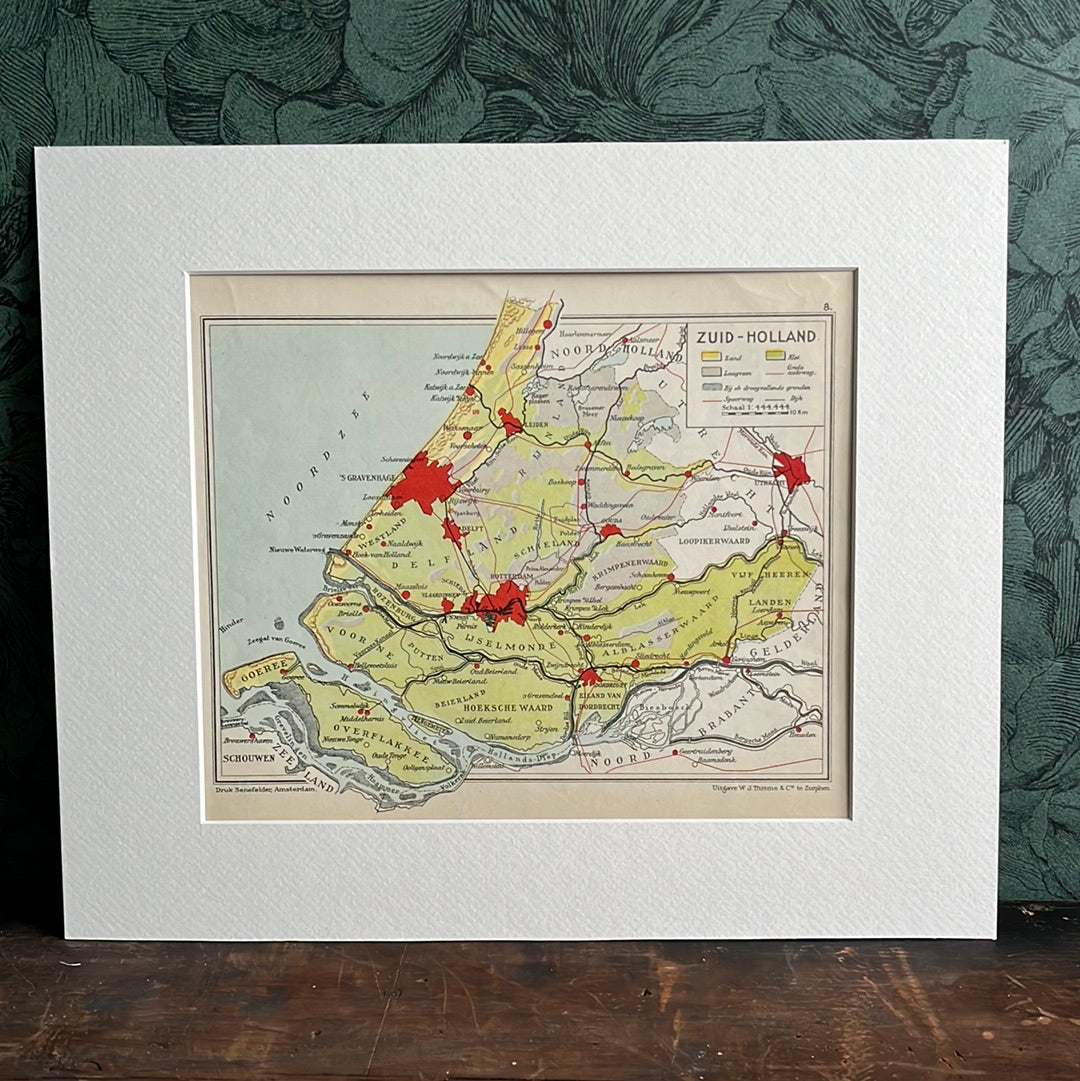
The images come from an atlas from 1948 and show the provinces of the Netherlands with their cities and soil type.
Dimensions of cards including passe partout Overijssel, Zeeland, Drenthe: 25.5x29cm Groningen, Limburg: 25x32cm Noord Brabant: 25x31.5cm Noord Holland: 26.5x32cm Zuid Holland: 27x32.5 cm Utrecht: 26.5x30 cm Friesland: 25.5x30 cm Gelderland: 25.5x32 cm